© 2026 Haldera Trading Ltd., All Rights Reserved
Καλλιπόλεως 3, Γρ. 403, 1055 Λευκωσία
ΤΗΛ: +357 22678897, email: office@haldera.com.cy
Καλλιπόλεως 3, Γρ. 403, 1055 Λευκωσία
ΤΗΛ: +357 22678897, email: office@haldera.com.cy

")

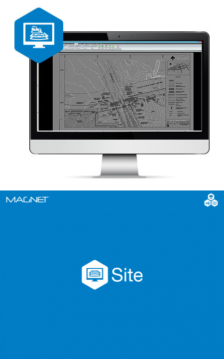
Create accurate 3D models for machine control site and roadwork projects
MAGNET Site is a fully featured constructible model and surveying software for any road or site project. Contractors, and specifically 3D model builders appreciate the comprehensive toolset with easy-to-learn workflows and direct site connectivity. Easily elevate 2D plans and create 3D road and site models from CAD or PDF files. Simplify complex road-design projects, and streamline the design of road corridors, highways and intersections.
Topcon digital terrain models can be directly transferred to machines, field crews or project stakeholders for a better-connected project team. Digital terrain models (DTMs) provide a data efficient surface project representation used for machine control and staking as well as to create topographical maps, extract cut-and-fill volumes, and create progress reports.

By using our website, you agree to our use of cookies. If you want to know more, press the Privacy Policy button.