
© 2026 Haldera Trading Ltd., All Rights Reserved
Καλλιπόλεως 3, Γρ. 403, 1055 Λευκωσία
ΤΗΛ: +357 22678897, email: office@haldera.com.cy
Καλλιπόλεως 3, Γρ. 403, 1055 Λευκωσία
ΤΗΛ: +357 22678897, email: office@haldera.com.cy

")

The HiPer XR GNSS receiver boosts performance, helping you stay ahead even in the toughest conditions. Elevate Accuracy, Ignite Efficiency. Gain Your Edge Today!

NavVis MLX is a user-friendly, handheld dynamic scanning system that enhances AEC and surveying workflows. As a compact device, ideal for confined, smaller spaces or shorter, more frequent scanning on site, it is a professional solution that delivers the accuracy and data quality you and your clients require.
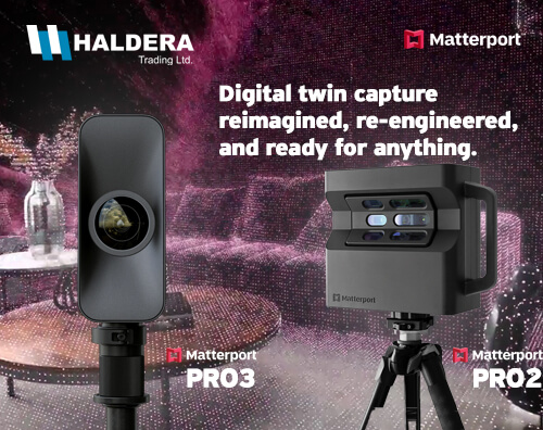
We officially announce our partnership with the company "Matterport". As a leader in data management and 3D digitization, Matterport through its 3D platform and products for 3D modeling enables the design, construction and configuration of every possible real space.
With headquarters in California and a global presence with offices in Chicago, San Francisco, Kansas, London and Singapore to gradually expand around the world, Matterport was founded in 2011 and innovates the processes of interaction between the real, structured construction world and artificial intelligence.

Haldera Trading Ltd., is proud to announce its new official partnership with TOPODRONE, a global leader in professional drone solutions for surveying, mapping, and inspection.
As an official partner, Haldera Trading will now offer TOPODRONE’s advanced range of unmanned aerial systems (UAS), including high-precision LiDAR, multispectral sensors, and survey-grade drones. This collaboration strengthens Haldera Trading’s commitment to delivering cutting-edge technology and specialized solutions to professionals in construction, agriculture, environmental monitoring, and geospatial industries across Cyprus.
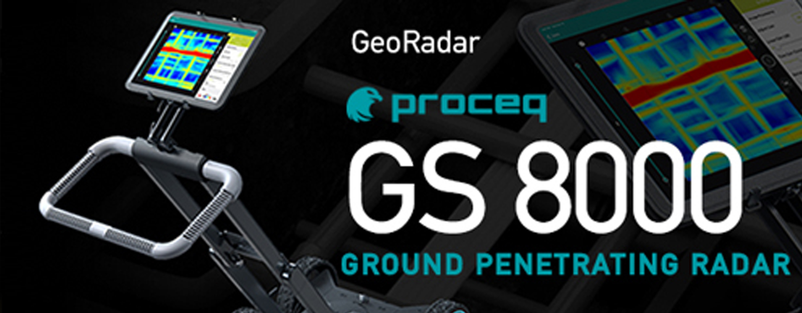
Applications:
Utility strike prevention / Subsurface utility engineering (SUE) / Asset inspection (bridges, asphalt) / Geophysical investigations / Archeology / Forensics
By using our website, you agree to our use of cookies. If you want to know more, press the Privacy Policy button.