© 2026 Haldera Trading Ltd., All Rights Reserved
Καλλιπόλεως 3, Γρ. 403, 1055 Λευκωσία
ΤΗΛ: +357 22678897, email: office@haldera.com.cy
Καλλιπόλεως 3, Γρ. 403, 1055 Λευκωσία
ΤΗΛ: +357 22678897, email: office@haldera.com.cy

")

Better things in smaller packages!
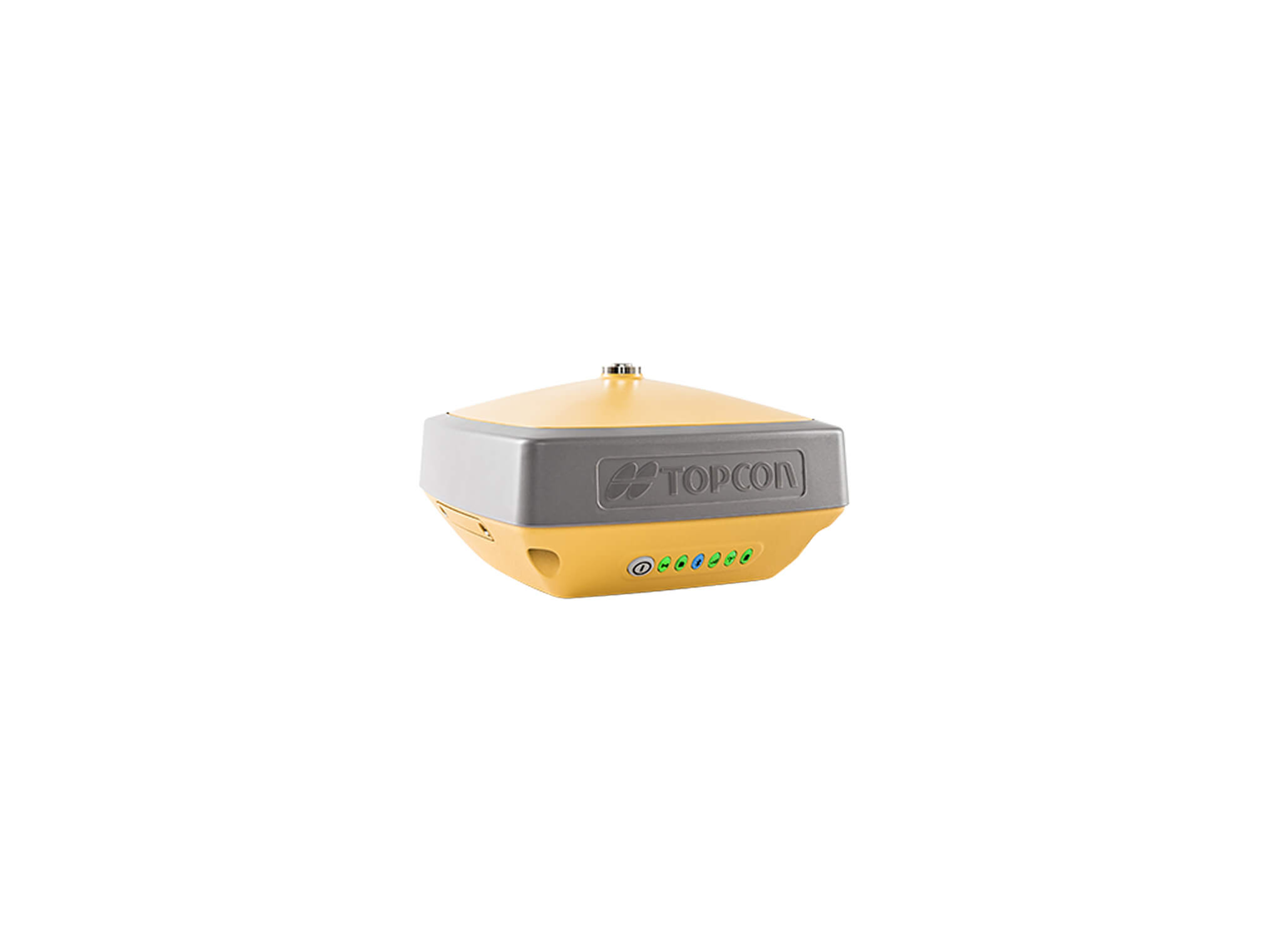
The HiPer VR* is compact, light and packed with the most advanced GNSS technology in a design built to withstand the harshest field environments. Using Topcon’s advanced GNSS chipset with Universal Tracking Channels Technology, the HiPer VR automatically tracks every satellite signal above – now and into the future.
All signals, all satellites and all constellations — in a compact, rugged design, with an integrated IMU and eCompass.
The HiPer VR is a complete solution and versatile in many ways. It can be used for static or kinematic GNSS post-processed surveys, as a network RTK rover with the FC-5000's internal 4G/LTE cellular modem, as a UHF/FH/Longlink jobsite RTK rover, and also in Topcon’s patented Hybrid Positioning workflow.
Top features include:
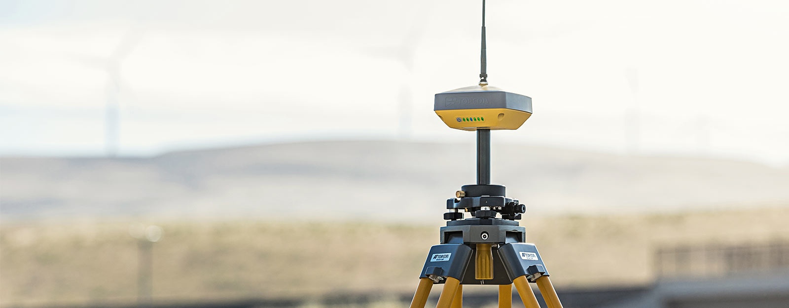
By combining a 9-axis inertial measurement unit (IMU), along with a digital compass, the HR can accurately compensate for up to 15º of tilt on the rod. Now you can measure all the way to a building edge without using an offset. Or stretch to get an otherwise out-of-reach point. Just as with many other Topcon technologies, T.I.L.T. is designed to solve real-world challenges, so your work gets easier, faster, and better.

By using our website, you agree to our use of cookies. If you want to know more, press the Privacy Policy button.