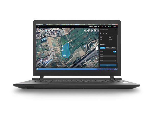

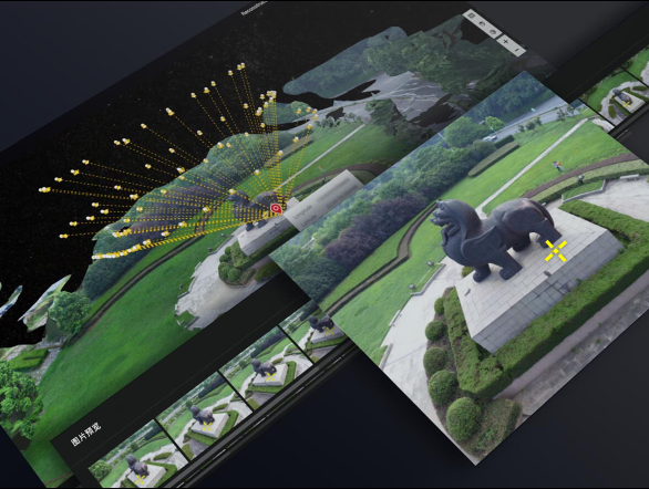
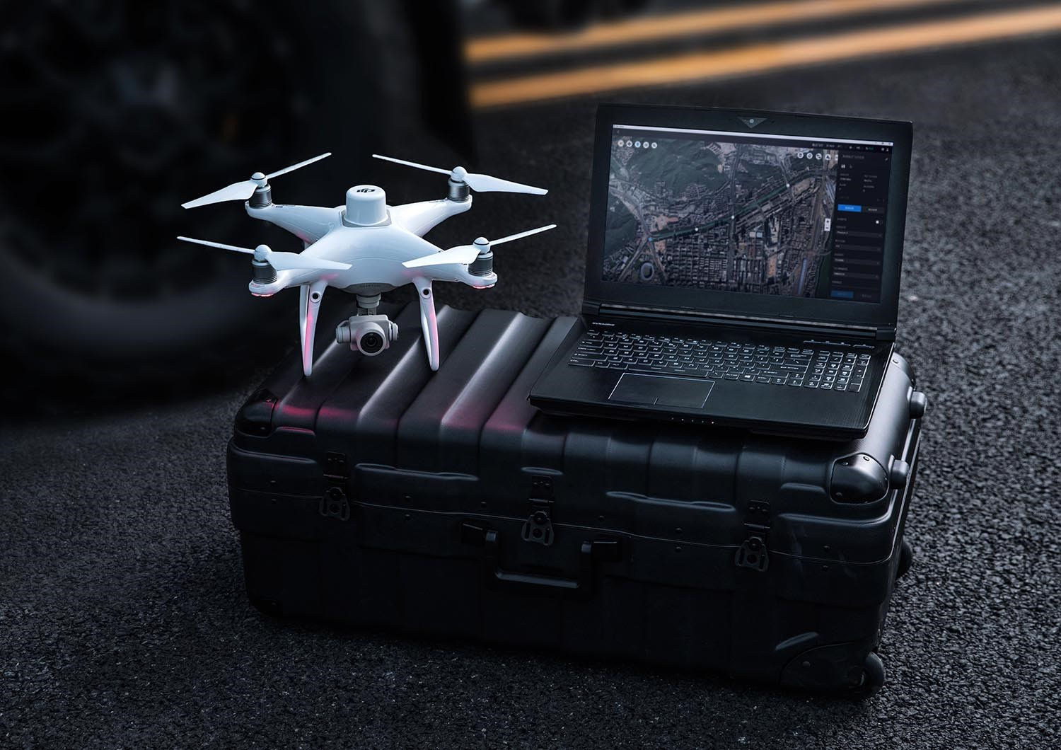
Capture, analyze and visualize your environment with DJI Terra – an easy to use mapping software developed to help industry professionals transform real-world scenarios into digital assets.
Mission Planning
Data Acquisition
Area Mapping
Data Analysis
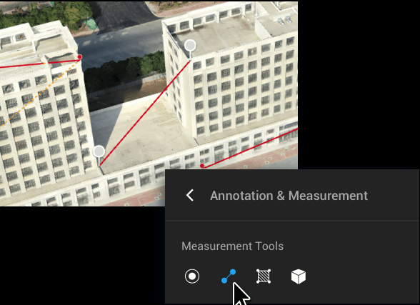
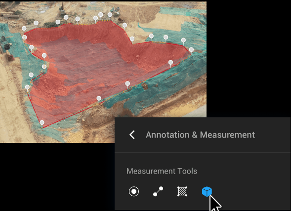
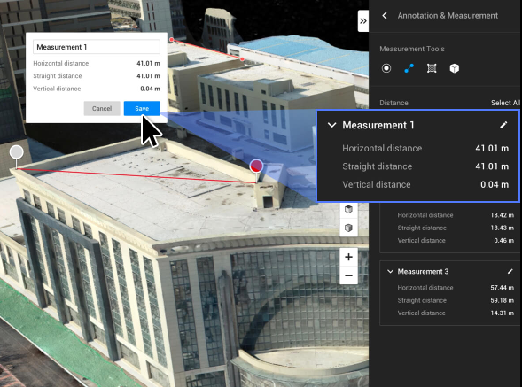
Collect, measure and analyze data with accuracy across projects
Easily perform detailed inspections on complex assets and structures
Safely inspect vertical assets and structures, with special optimizations for power lines
Achieve rapid turnaround time for gathering on-site critical information
Get an in-depth understanding of your field to help you generate greater yields
Optimize previsualization to improve planning workflows across your team
By using our website, you agree to our use of cookies. If you want to know more, press the Privacy Policy button.