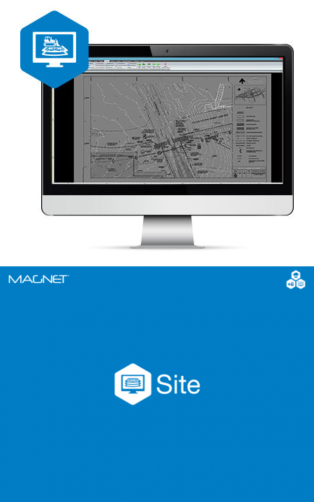
Magnet Office Site

Maximize your models.
Description

Maximize your models
Create accurate 3D models for machine control site and roadwork projects
Constructible models for machine control and sitework
MAGNET Site is a fully featured constructible model and surveying software for any road or site project. Contractors, and specifically 3D model builders appreciate the comprehensive toolset with easy-to-learn workflows and direct site connectivity. Easily elevate 2D plans and create 3D road and site models from CAD or PDF files. Simplify complex road-design projects, and streamline the design of road corridors, highways and intersections.
- 3D modeling for machine control
- Extensive 2D-to-3D conversion toolset, including highly versatile textures
- Full road-design functionality
- Ability to merge surface models
- Automated pad design with automatic cut/fill balance
- Multiple volume routines
- Automated CAD-data cleanup
- Vast library of compatible formats
- Sitelink3D and MAGNET Enterprise connectivity
Constructible digital terrain model
Topcon digital terrain models can be directly transferred to machines, field crews or project stakeholders for a better-connected project team. Digital terrain models (DTMs) provide a data efficient surface project representation used for machine control and staking as well as to create topographical maps, extract cut-and-fill volumes, and create progress reports.
MAGNET Site is perfect for:
- Civil Engineering & Design
- Construction Survey/Layout
- Design & Take-Off
- Site Work
- Road Work
- Landfill